

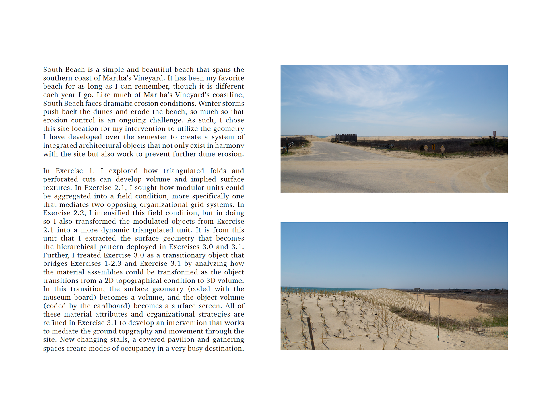
FINAL PROJECT
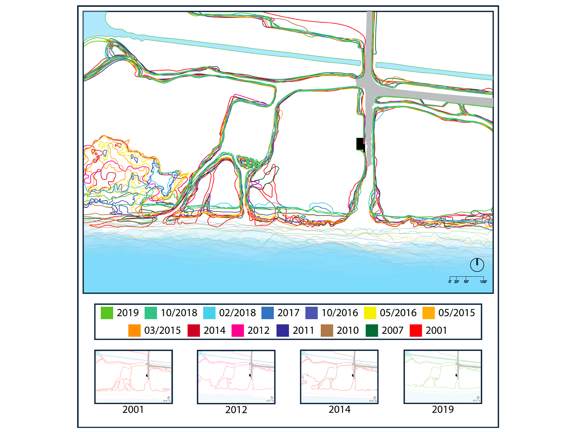
Schematic Mapping of the erosion that has affected South Beach from 2001 to 2019 and its continued effect on the land and topographical conditions of the site. Using Google Earth timeline data and Adobe Illustrator, this map shows the constant change in boundary conditions and shifting topography of the site as site conditions for consideration when introducing a project intervention.
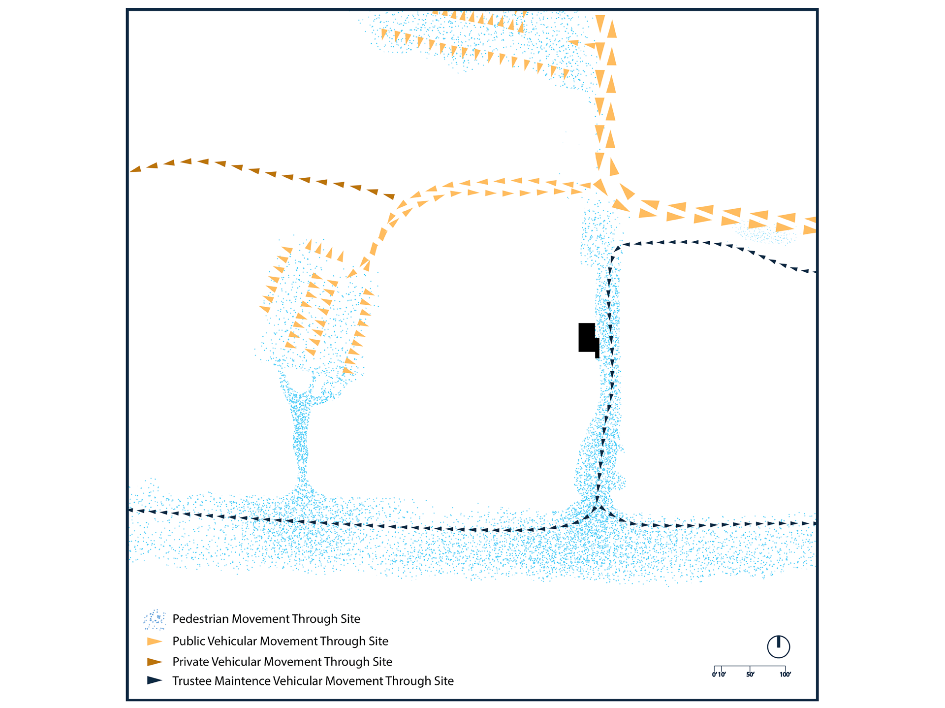
This Site Mapping conversely shows the impact from pedestrian and vehicular movement through the site. Constant movement funneling through weak points in the dunes makes the site vulnerable to storms and further erosion. Thus, this mapping influences the design of the natural sea wall and artificial dune intervention of the project design.
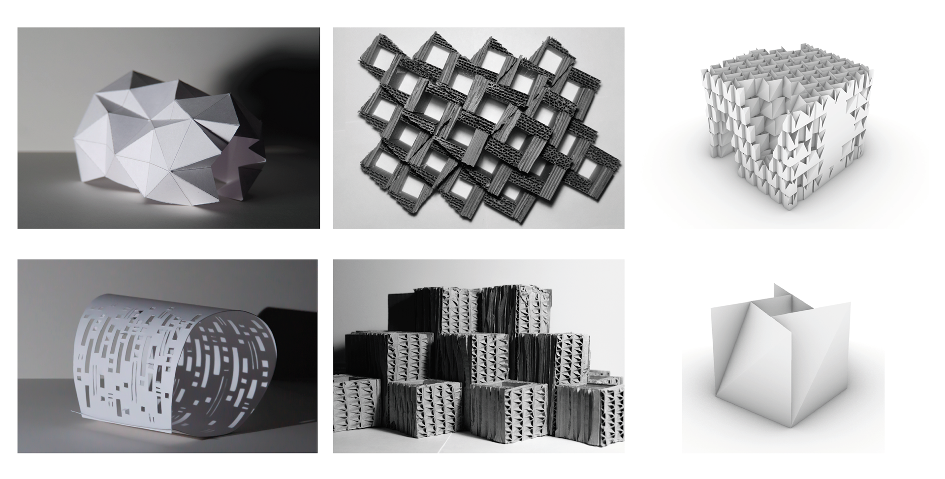
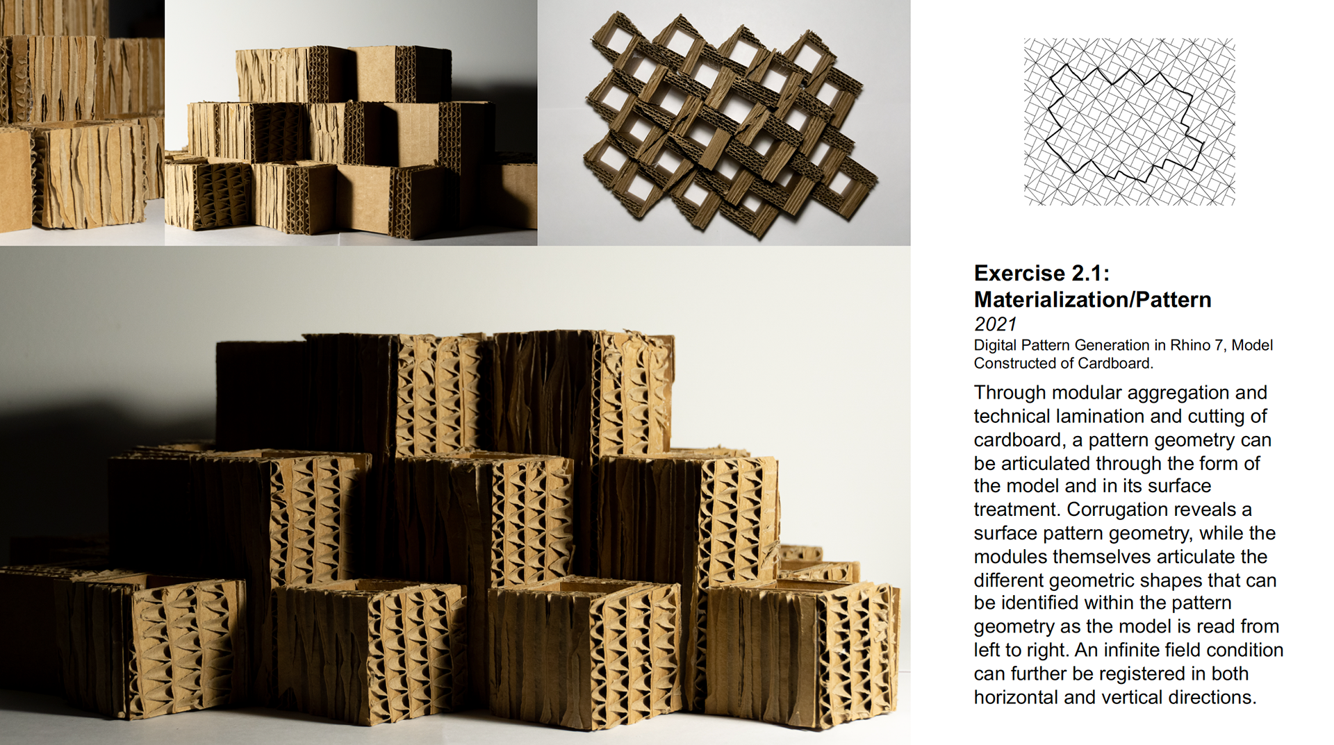
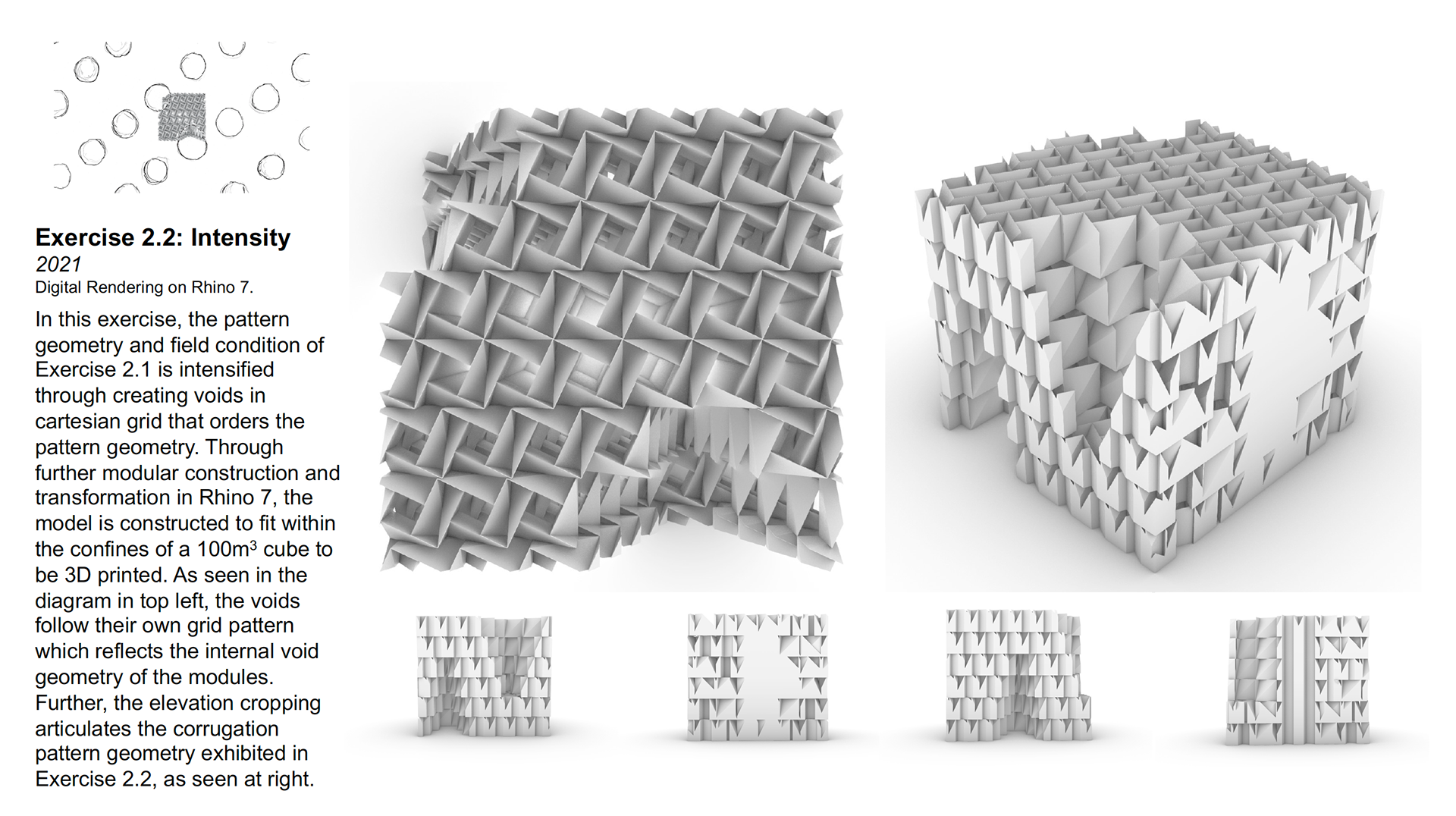
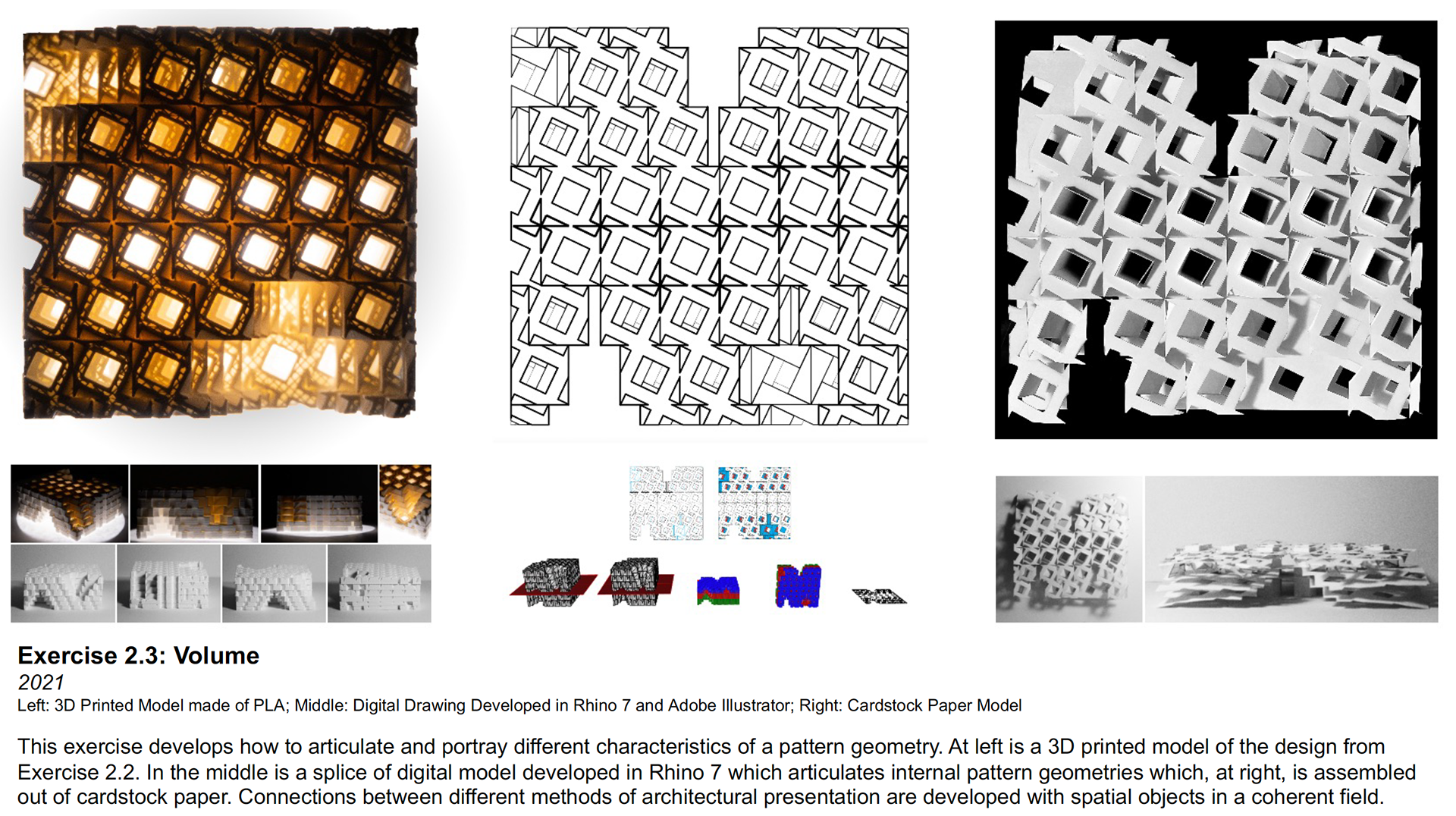
These images show the design process that influenced the overall design of the final project. Triangulated geometry and implied texture from perforation were drawn from Exercise 1, texture and alternating grid organization of modules were drawn from Exercise 2.1 and the geometry of the modules in the final project were drawn from Exercise 2.2.
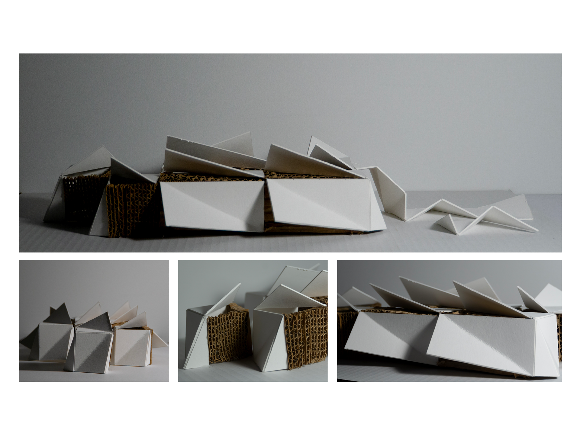
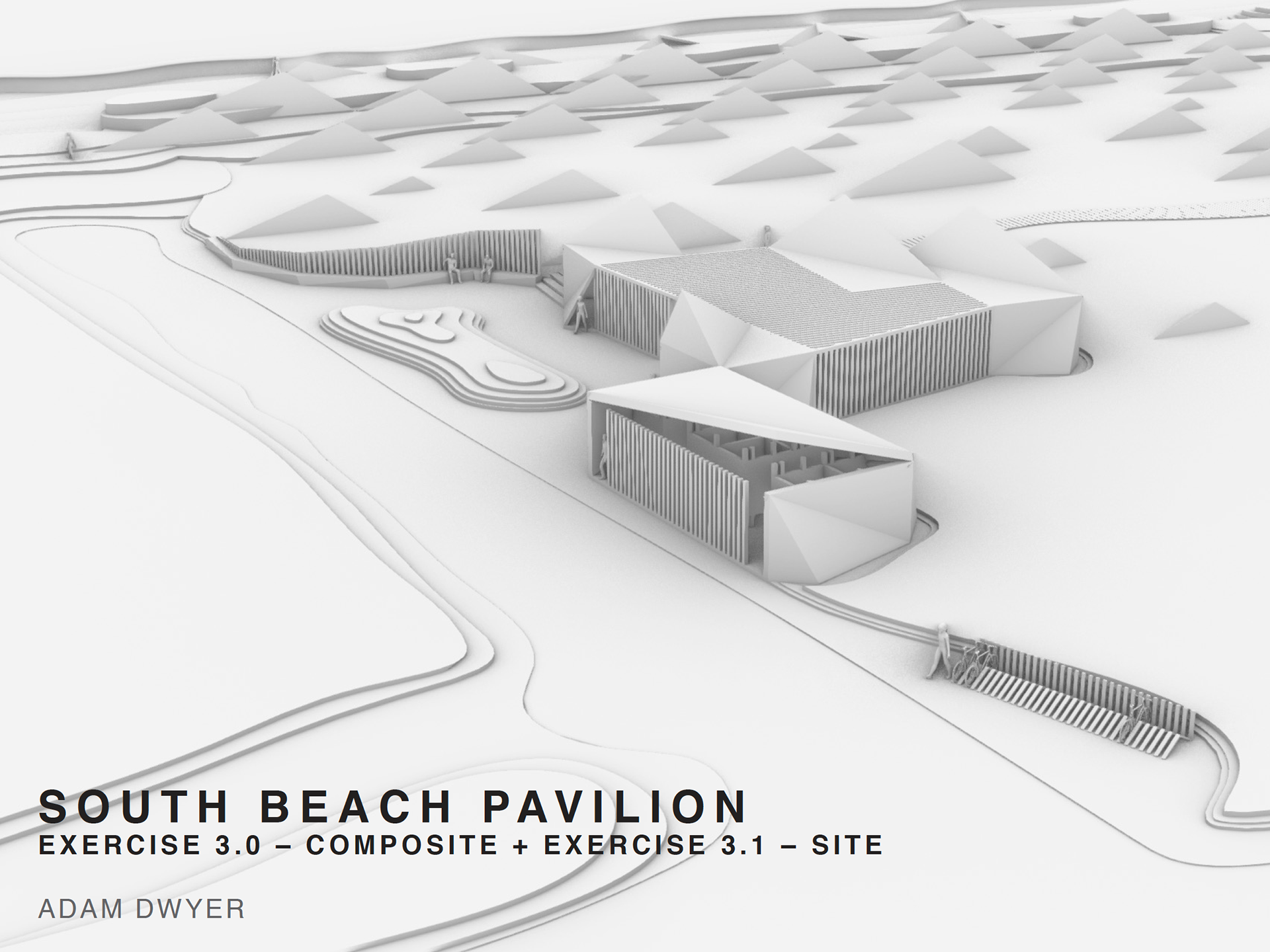
Exercise 3.0, the composite model that is then manipulated to fit the site conditions of the final project, shows the use of material and organized modules that is further explored in the final project. A shift from right to left that explores the change in material condition (solid to screen or vice versa) of the museum board and the cardboard is an essential consideration that is furthered in the final project design.

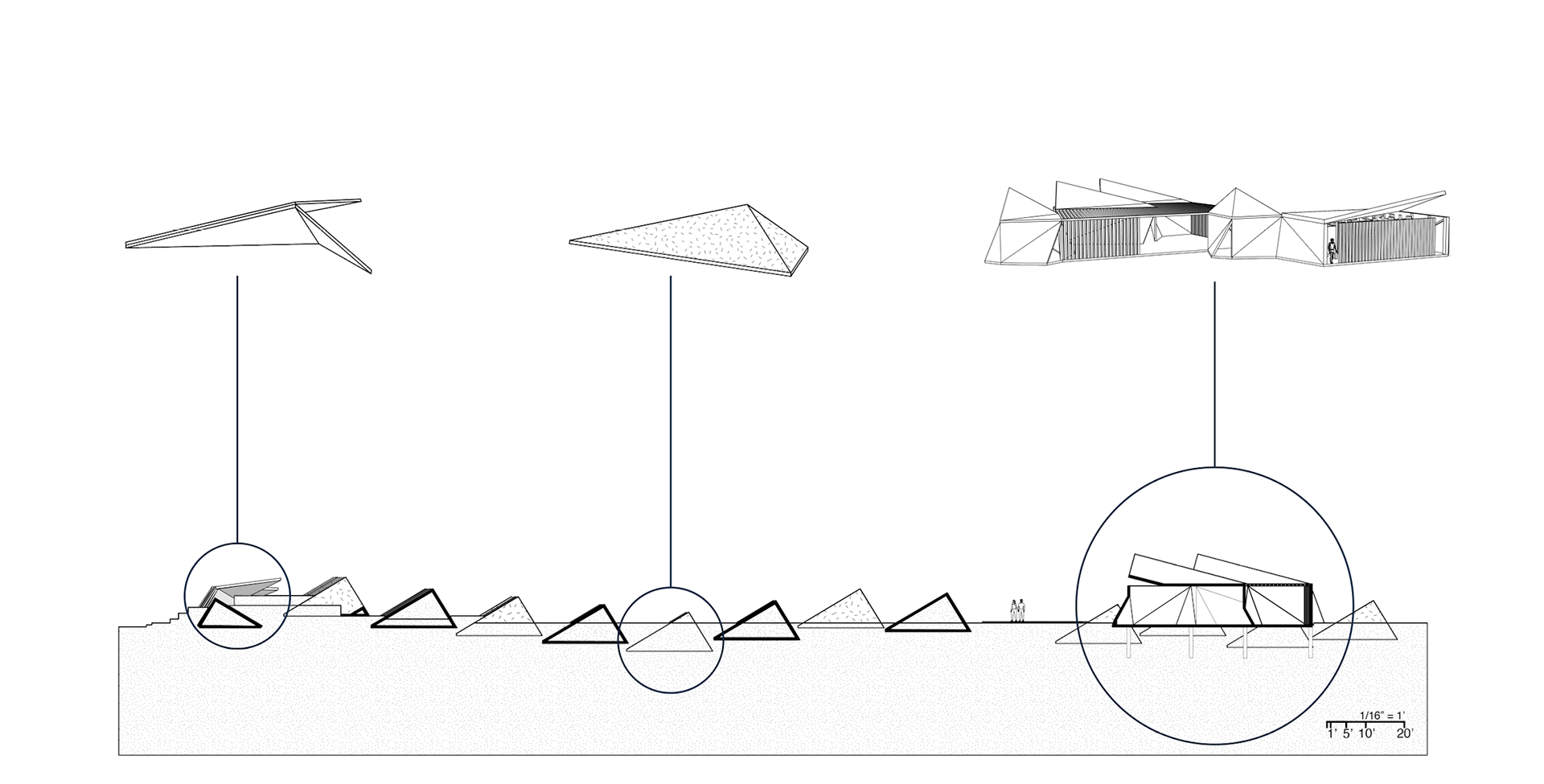
A taxonomy of parts for the final project. From top to bottom: the Pavilion, with its gathering space, restrooms and changing stalls; the Walkway, which connects the parking lot to the Pavilion to limit excess traffic in a vulnerable section of the dunes; the Bench and Screen, which provides seating while visitors to the site wait for group members or for the bus that connects South Beach to the rest of the island; the Bike Rack; the Artificial Dune, which strengthens the natural sea wall and topography of the site from further erosion; and the Cabana, which is a modification to the Artificial Dune to provide coverage on the ocean side of the site but can be closed in winter or during storms to provide protection to the landscape.
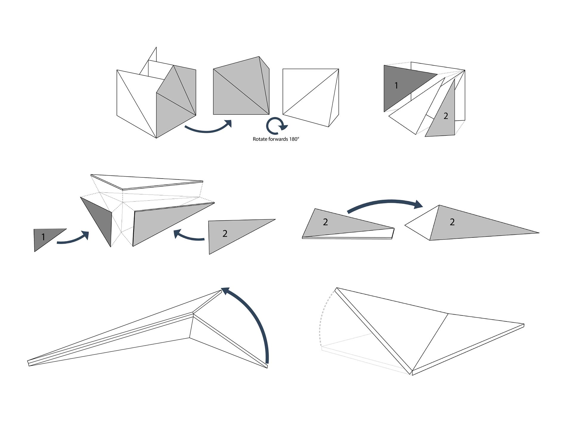
Diagram of organizational geometries within the project and how each of the components were developed.

Site Plan I

Section
Section with Taxonomy of Objects overlaid for identification

Site Plan II
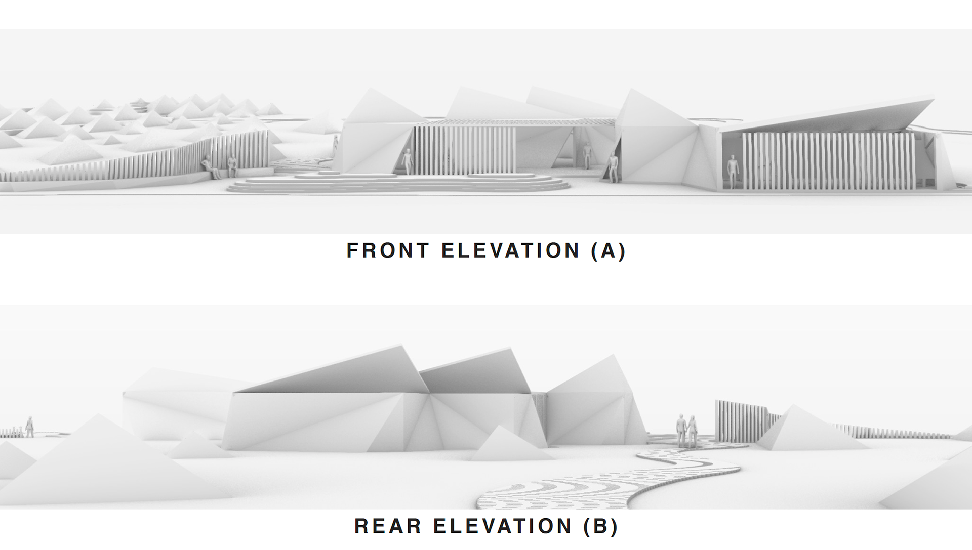
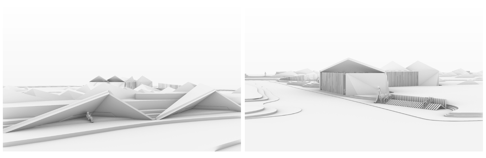
Detail Views of Cabana and Front Arrival
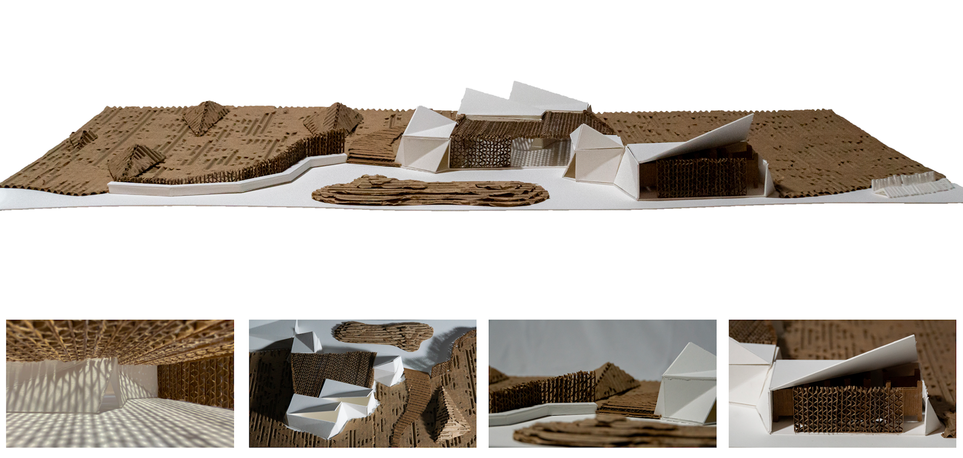
Project Model
(Cardboard and Museum Board)
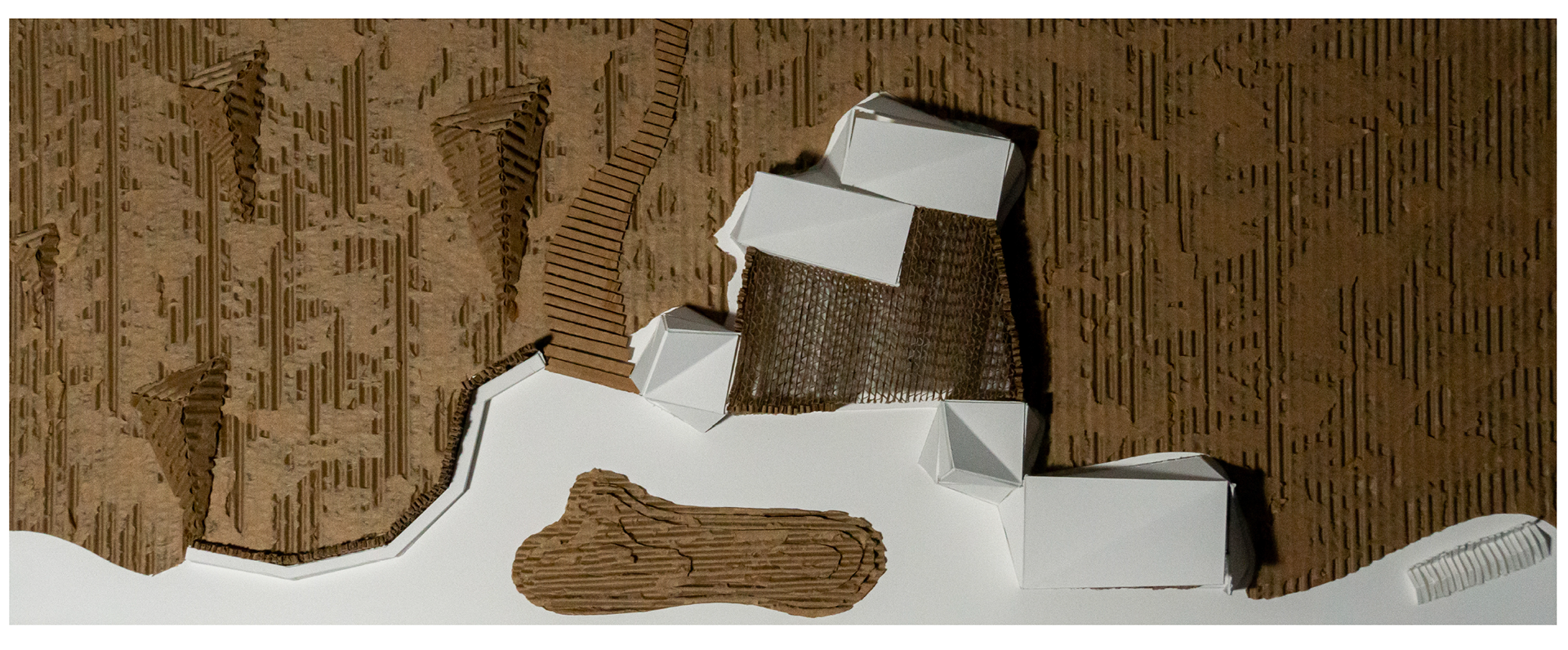
Top View of Project Model

Interior View of Project Model